
Cascades to Olympics field tour of northern and southern habitat linkages
Conservation Northwest / Jan 13, 2021 / Cascades to Olympics, Connecting Habitat, Wildlife Crossings
Wildlife connectivity across I-5 in southwest Washington is increasingly restricted by development, but there are opportunities to restore habitat and enhance structures to serve as wildlife crossings.
By Keiko Betcher, Communications and Outreach Associate
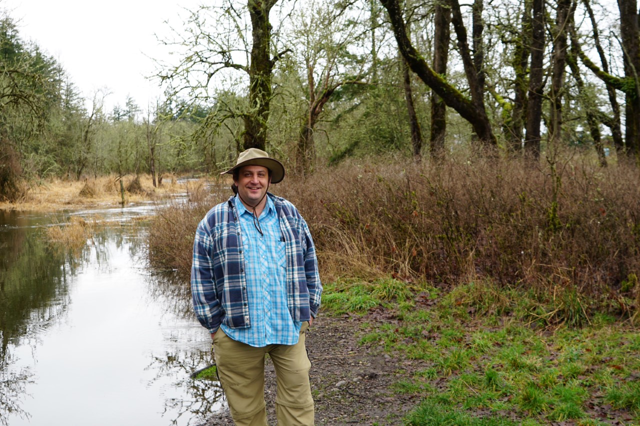
Recently, Conservation Northwest’s Communications Director Chase Gunnell and I met with our Cascades to Olympics Coordinator Brian Stewart to check out of some important areas in our Cascades to Olympics program. A wet, cold and cloudy day in the middle of winter may not seem like the most ideal day for a socially-distanced field tour—but after nine months of hardly any days away from my work-from-home desk, I probably would’ve been thrilled to go in a downpour.

Stretching from Mount Rainier to Washington’s southern-most Cascades, west across I-5 to the Willapa Hills and north to the Olympic Peninsula, our Cascades to Olympics (C2O) program encompasses a vast landscape of important wildlife corridors for a diversity of species, and works to restore habitat and improve wildlife connectivity across the region.
So far, we’ve communicated a lot on our engagement in the Chehalis Basin Strategy to address severe flooding that occurs in the Basin, occasionally to the level of closures on I-5. You might’ve heard about our input on the Aquatic Species Restoration Plan, as well as our opposition to the proposed Chehalis Dam. And to those of you who took action on these issues, thank you!
But there are other components of C2O that have been progressing as well, thanks to research, outreach and partnerships developed by Stewart, who is a local resident in the Basin.
“There are more than 20 large structures on I-5 that wildlife can and do pass under,” Stewart said. “However, from milepost 0-100 there are no locations on I-5 that can compare to the wildlife-vehicle collision rates we see in the Chehalis Basin.”
Part of Stewart’s work is assessing potential linkages for wildlife movement and opportunities to establish wildlife crossings across I-5 and Highway 12. With three main linkages informed by models mapping “naturalness connectivity”, wildlife-vehicle collision data and wildlife movement, we got a closer look at some of these areas on the ground.
Many of the priority wildlife connectivity corridors in the Cascades to Olympics landscape follow riparian areas and tributaries of the Chehalis Basin, such as the Skookchuck, Satsop, Neuwaukum and Black rivers, and that’s where we started.
Northern Linkage – Scatter Creek Wildlife Area

Scatter Creek Wildlife Area, just north of Centralia, has key wildlife habitat, with a unique ecosystem including prairie, wetland, riparian areas and Oregon white oaks. Scatter Creek and the nearby Black River are tributaries of the Chehalis River. In this area the creek is both slow and stagnant or dried up most of the year, but the structure it passes through underneath I-5 and the associated area has been identified as an important wildlife connectivity zone.
The Wildlife Area includes about six miles of trails, and is contigous with state and private forests that serve as wildlife habitat and provide human-powered recreation opportunities.
Just north on the other side of the freeway lies another patch of habitat, where we’re working with the Veterans Ecological Trades Collective, a local nonprofit supporting efforts in conservation, agriculture, forestry and ecological design, to install trail cams and monitor wildlife moving though their property (lookout for an upcoming blog detailing this partnership).
A few miles south, the Skookumchuck River has the highest rates of wildlife-vehicle collision rates from mileposts 1-100 on I-5. This area creates a potential northern linkage for animals looking for safe passage across the freeway, and with improved crossing structures, would provide a major steppingstone into more developed areas around the I-5 corridor and back out into working lands and protected areas. Sadly, we saw several road-killed carcasses on I-5 here during our tour, including three beavers.

Recent heavy rains raised the river levels in the Basin enough to prevent us from visiting the C2O’s middle linkage at Newaukum River—which falls right behind the Skookumchuck river for wildlife-vehicle collision rates. Another key area for wildlife connectivity, Stewart has prioritized the existing structure at Newaukum River for fencing, restoration, and potentially enlarging and enhancing it to better serve wildlife passing through.
This priority is becoming increasingly important as existing connectivity pathways are threatened by growing development pressures, especially along I-5. We clearly saw the increasing sprawl and development on our way to the southern linkage in our C2O program, as we drove past brand new retail shops and fast food chains built right in the floodplain on either side of the freeway.
Southern linkage – Toutle River
Further south near Castle Rock, state Department of Natural Resources (DNR) and private forest lands hug I-5 to the east and west for more than 10 miles, creating our C2O’s southern linkage. This area provides a critical route for wildlife moving between the Willapa Hills and the southern Cascades.

During our team’s exploratory hike in this patch of habitat, we were able to identify (or rather, make educated guesses on) scat from several species, including cougar, coyote, ungulates like deer and elk, and black bear. It’s clearly used by wildlife, and better permeability here would greatly enhance their ability to roam.
“At either end of this stretch of land, there are large underpasses at the Toutle and Cowlitz rivers, with a fair number of wildlife-vehicle collisions in between,” Stewart said. “My dream is to see a wildlife overpass here, with fencing connected to the Toutle and Cowlitz underpasses at both ends.”
Stewart has identified potential locations to either enhance existing structures underneath I-5 to serve as wildlife crossings—like we did for Janis Bridge on Highway 97—or construct new crossings. The early stages of discussions with local landowners and government agencies are beginning to happen. And while building wildlife crossings on I-5 may be an ambitious undertaking, we’ll continue pushing for them to keep both wildlife and motorists safe. Besides, we’ve done it before on I-90!
Stay tuned for upcoming engagement opportunities in this landscape, including restoration near the Satsop River structure under Highway 12 east of Montesano to better function as a wildlife crossing, as well as other updates and on our Cascades to Olympics program.
LEARN MORE ABOUT OUR CASCADES TO OLYMPICS PROGRAM, OR READ BRIAN STEWART’S BLOG ON THE NEED FOR WILDLIFE CROSSINGS ON I-5!
